
Cmor SOCA001S Cmor High Resolution Bathymetric Mapping For Simrad
by CMOR Mapping
| Price: | $545.82 |
| MFG Part: |
| UPC: |
| Condition: |

Currently Unavailable.
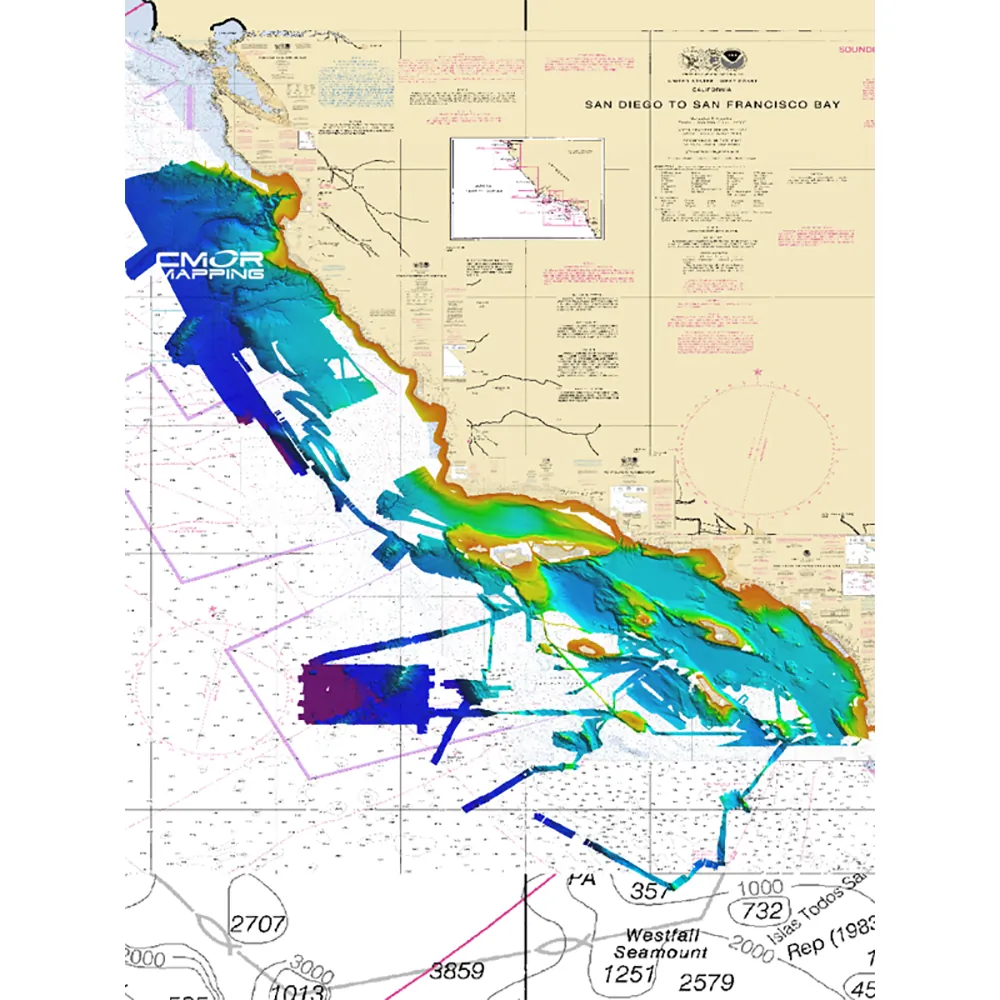
High-Resolution Bathymetric Mapping for Southern California
GET READY TO EXPLORE THE OCEAN FLOOR!
CMOR Mapping offers revolutionary bathymetric imagery for Simrad, Lowrance, B & G, and Raymarine chartplotters, providing anglers and divers with unprecedented clarity and detail of the underwater landscape.
COMPREHENSIVE SURVEY DATA
The CMOR Mapping data is derived from thorough surveys using high-resolution echosounders, delivering an accurate representation of the ocean floor beyond mere historical records.
EXCEPTIONAL DETAIL AT YOUR FINGERTIPS
Experience a remarkable level of detail with resolutions reaching up to 1 meter, revealing every underwater feature from ledges to coral heads and sunken structures.
EFFORTLESS INTEGRATION
Simply plug in your CMOR Mapping card into your chartplotter and explore detailed bathymetric imagery as you navigate, with your vessel icon pinpointing your exact location relative to ocean floor features.
Specifications
- High-resolution bathymetric imagery tailored for various chartplotters
- Comprehensive data sourced from advanced echosounder surveys
- Exceptional detail, mapping features as small as 1 meter
- Easy integration with existing navigation systems
- Real-time location tracking relative to underwater structures