
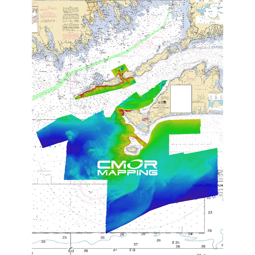
Cmor LIMV001S : Long Block Island Sound Martha's Vineyard
by CMOR Mapping
| Price: | $374.21 |
| MFG Part: |
| UPC: |
| Condition: |
Currently Unavailable.
Comprehensive Mapping for Long Block Island Sound & Martha's Vineyard
This CMOR Card delivers detailed mapping for over 2000 square miles of diverse underwater topography, covering Long, Block, and Martha's Vineyard areas. With numerous shipwrecks, hidden rocks, and vital fish habitats, anglers and adventurers alike can explore depths ranging from 1' to 385'. The coverage spans from Norwalk, CT in the northwest to Eatons Neck in the southwest, continuing east past Block Island.
The Long/Block Island Sound/Martha's Vineyard CMOR card stands as a leading resource in nautical charting!
Equipped with enhanced bathymetric data, CMOR Mapping provides greater insights than any other source on the water.
The card includes NOAA Charts 12353, 12363, 13205, and 13218 for comprehensive navigation.
All CMOR Cards are conveniently packaged on Micro SD cards, with a standard SD adapter included.
Specifications
- Covers 2000 square miles of intricate underwater features
- Depth range from 1' to 385'
- Includes NOAA Charts 12353, 12363, 13205, and 13218
- Compatible with multiple Lowrance, Simrad, B&G, and Mercury devices
- Convenient Micro SD card format with standard SD adapter
 Jonathan Fitz