
Cmor MIDA001R Midatlantic For Raymarine Chart
by CMOR Mapping
| Price: | $142.46 |
| MFG Part: |
| UPC: |
| Condition: |
Currently Unavailable.
CMOR Mapping Mid-Atlantic for Raymarine
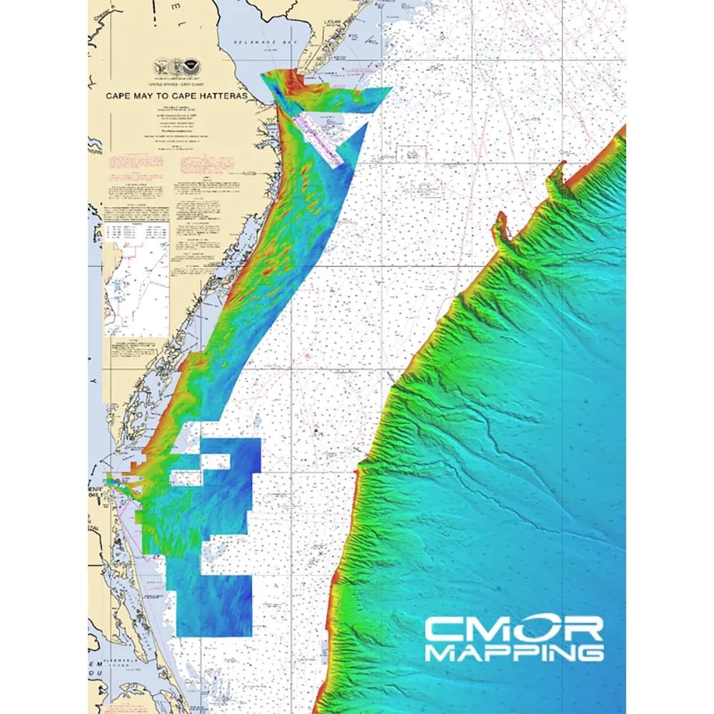
This advanced mapping card is designed for anglers looking to explore some of the most productive fishing spots and wrecks in the Mid-Atlantic region. The coverage begins from nearshore waters, extending 20+ miles offshore, encompassing areas from Delaware Bay down to Virginia Beach and the Northeast canyons stretching from North Carolina all the way to Maine. Discover numerous wrecks with unprecedented detail, and successfully target elusive fish species with ease. Whether you're after quick catches near shore or planning a serious offshore fishing expedition, this mapping card is your essential fishing companion!
Key Fishing Locations Included:
- Chincoteague Shoal
- Delaware Bay
- Fenwick Shoal
- Hudson Canyon
- Ocean City Inlet
- Wrecks located 30nm Due East of Chesapeake Bay
Compatible with Raymarine Devices:
To use the CMOR Mapping feature, ensure your device has at least v17 software installed and is compatible with the Lighthouse II and Lighthouse 3 interfaces. Supported models include:
- Axiom Series
- Axiom Pro
- HybridTouch
- aSeries
- cSeries
- eSeries
- eS Series
- gS Series
- Dragonfly Series
Specifications
- Comprehensive coverage of Mid-Atlantic fishing spots
- Includes detailed wreck locations and fishing depth information
- Compatible with a wide range of Raymarine devices
- Ideal for both nearshore and offshore fishing
- User-friendly interface for easy navigation and mapping
- Ensures a better fishing experience with precise data
 Synfendia