
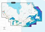
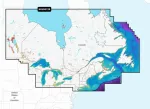
Garmin 010-C1484-00 Navionics Vision+ Nvus012r Canada Great Lakes
by Garmin
| Price: | $219.80 |
| MFG Part: |
| UPC: |
| Condition: |

In Stock.
only 7 left in stock order soon
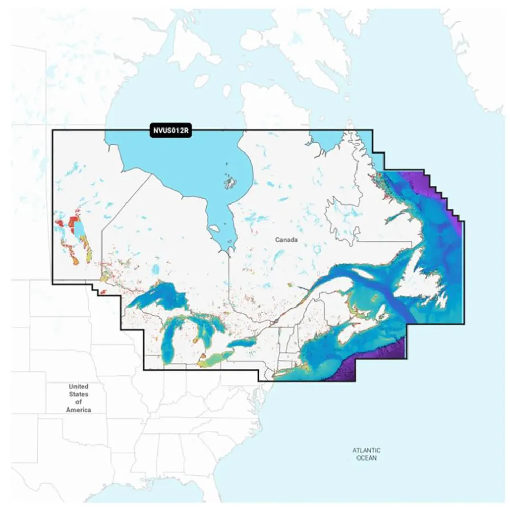
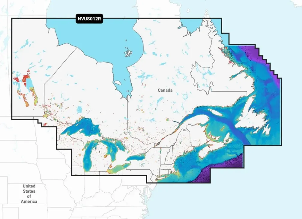
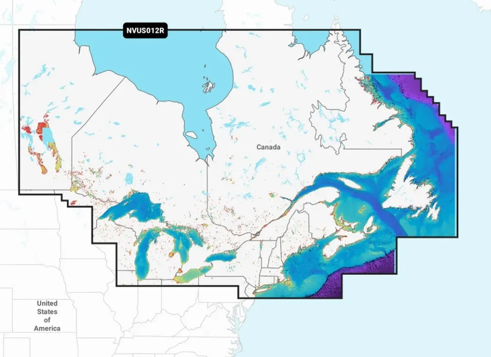
Navionics Vision+ NVUS012R Canada & Great Lakes
This advanced mapping solution features vibrant colors and a streamlined interface, combining coastal and inland content for seamless navigation. With Garmin Navionics+ cartography, plotting courses has never been easier.
Key Features:
- microSD/SD format for compatibility
- Extensive offshore and inland lake coverage for Garmin chartplotters
- Customize map views with multiple chart layers
- Includes a one-year subscription for daily updates via the ActiveCaptain app
- Auto Guidance+ technology provides suggested routes
- Select up to 10 color-shaded depth ranges for optimal fishing
- Renew subscription for continued access to updates and new content
Coverage Details:
Comprehensive coverage of Eastern Canada’s coastal and inland waterways (excluding YT and NU), including the Great Lakes, St Lawrence River, Maritime Provinces, and Grand Banks.
Daily Updates:
Stay up-to-date with as many as 5,000 enhancements daily, included in your one-year subscription through the ActiveCaptain app.
Advanced Navigation:
With Auto Guidance+ technology, effortlessly navigate through channels, inlets, and marinas.
Specifications
- High-resolution depth range shading with 10 options
- Up to 1' contours for detailed fishing charts
- Shallow water shading for safety navigation
- ActiveCaptain community content for local POIs
- High-resolution relief shading for bottom structure clarity
- Downloadable high-resolution satellite imagery
- Aerial photography for enhanced visual navigation
- 3D Fisheye and Marinereye views for immersive underwater perspectives
- Dynamic lake level adjustment for real-time accessibility
 JB
JB